Shark Tooth
Island.
A public field station and resource hub for Shark Tooth Island — a working sandbar in the Cape Fear River where Miocene and Pliocene deposits continue to surface with every tide. Identification, planning, coastal history, and the tools to visit well.
Station Coordinates
34.1175° N
77.9306° W
New Hanover County, NC
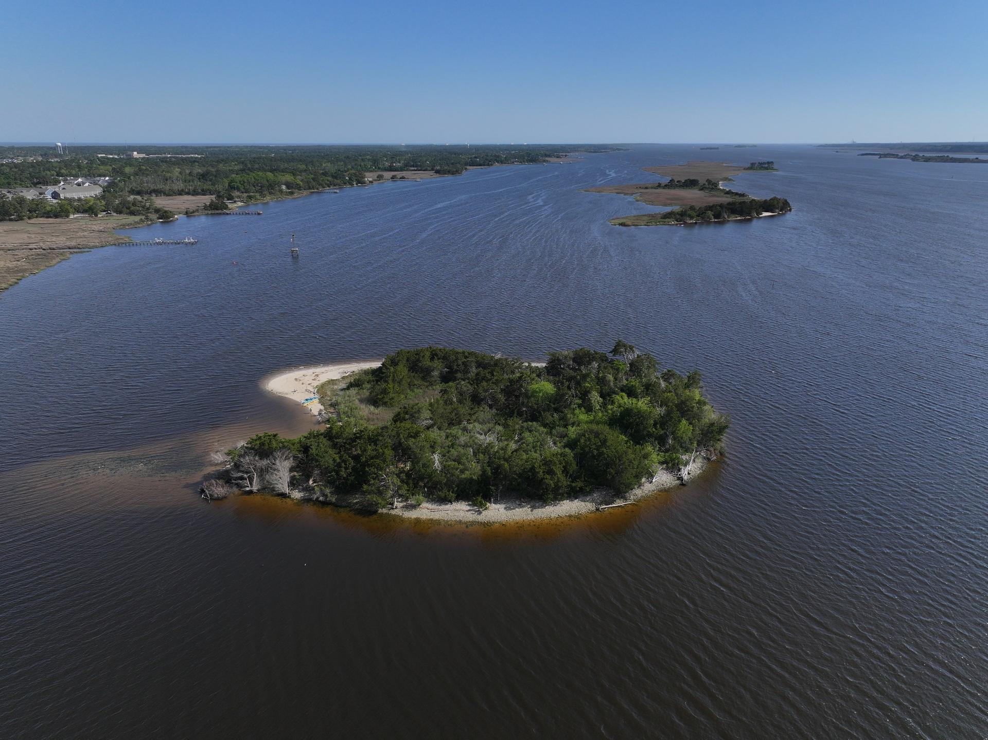
How Shark Tooth Island Was Made
The fossils are ancient. The island is newer. Explore the dredging and Cape Fear River history behind one of the coast's strangest fossil-hunting spots.
Read the Story arrow_forwardPlan a Better Trip.
Field Guide
How to visit, what to bring, how to search, live tidal conditions, and a full species catalog. The complete resource for planning a trip.
Open Guide arrow_forward wavesHunt Planner
Real NOAA tide predictions and Open-Meteo weather scoring for the next seven days. Find the right window before you launch.
Check Conditions arrow_forward straightenSize Calculator
Estimate body length, mass, jaw width and bite force from a tooth measurement. Based on the Pimiento & Clements formula.
Open Tool arrow_forward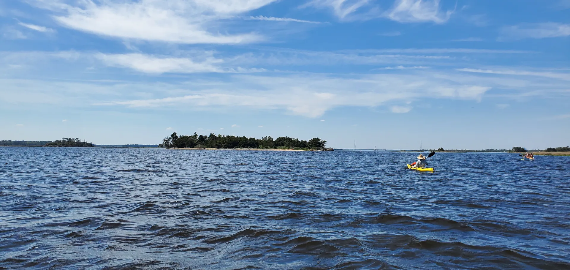
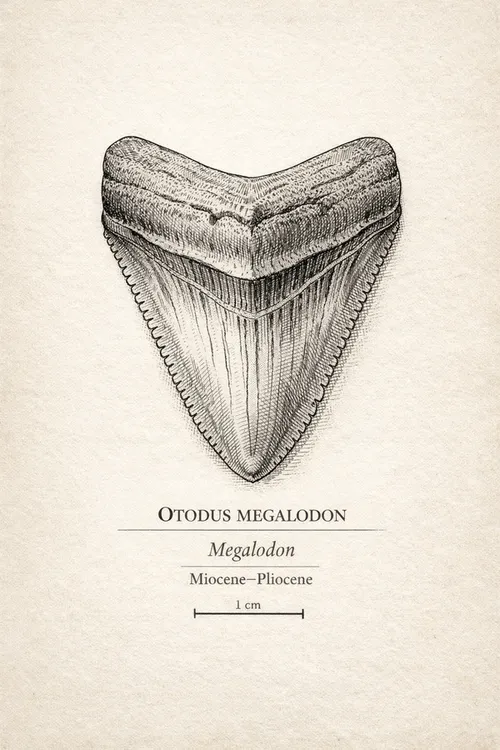
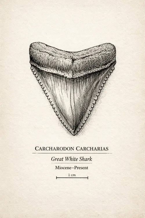
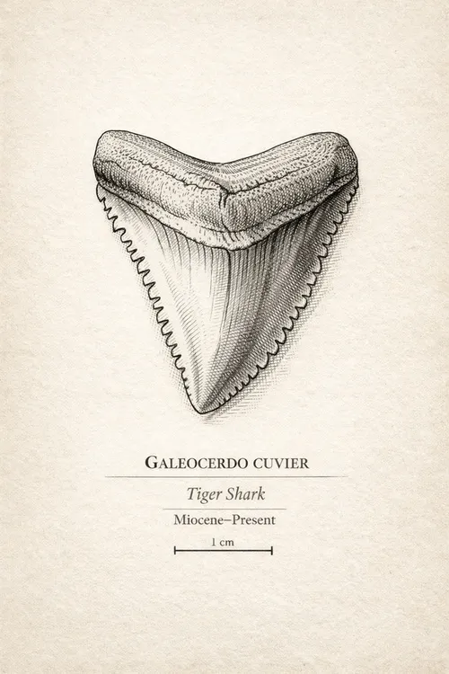
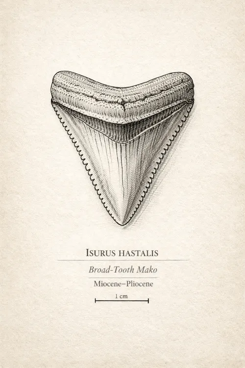
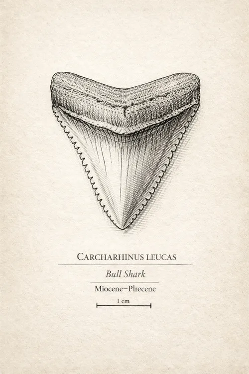
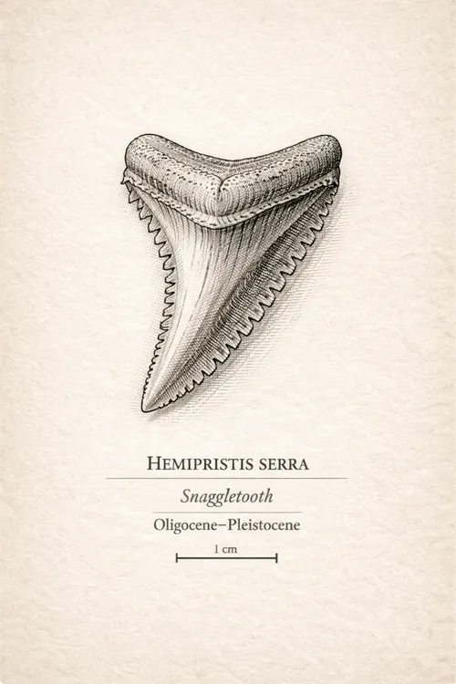
What You're Likely to Find.
Six species that surface regularly on Shark Tooth Island — from the common to the apex.
Field Notes, Delivered.
Occasional updates from the station — tidal windows, new finds, and field notes from the Cape Fear River. No spam.